Durmitor: Bobotov Kuk Hiking Private Tour
- 6 horas
- Voucher eletrônico
Durmitor is a mountain and national park in Montenegro. It is believed that the name Durmitor originates from the Celtic word that means ”a mountain full of water”. Durmitor, which, by its beauty and integrity is rare and authentic part of nature, was declared a national park in 1952. Located in the northwest of Montenegro, the park includes the main Durmitor massif with the Tara, Draga and Sušica canyons and the upper part of the canyon valley of Komarnica, occupying an area of 39,000 ha.
Bobotov kuk 2.523 meters high is the highest peak of Durmitor mountain massif. Many ornaments of the park beside the lakes, rivers, canyons, rich flora and fauna, contributed that Durmitor represents exceptional natural value and lasting inspiration of scientists and nature lovers.
Itinerary:
• This hiking mountain tour starts from the bend Sedlo, towards the north, with a mild climb. Already at the start we will enjoy the beauty of the landscape, we will pass grassy, meadow trails, and sharp rocky roads. We will stretch out underneath the rocks, after which we will enter the beautiful valley of Surutka from where it is looked up the figure of our goal – Bobotov kuk. On the way to the highest peak we will find the wells and we will be refreshed with drinking mountain water. Bobotov Kuk together with peaks: Bezimeni (2487 m) and Soa (2440 m) make the highest rocky ridge of Durmitor called Soa Nebeska.
• We will enjoy the view of the Škrčka lakes, which are called “mountain eyes” with the rest of the Durmitor lake group (a total of 18 glacier lakes). From the peaks of Durmitor there is a wonderful view in all directions, which you will definitely permeate with great photos!
• Be a participant in favorite mountain tour among tourists!
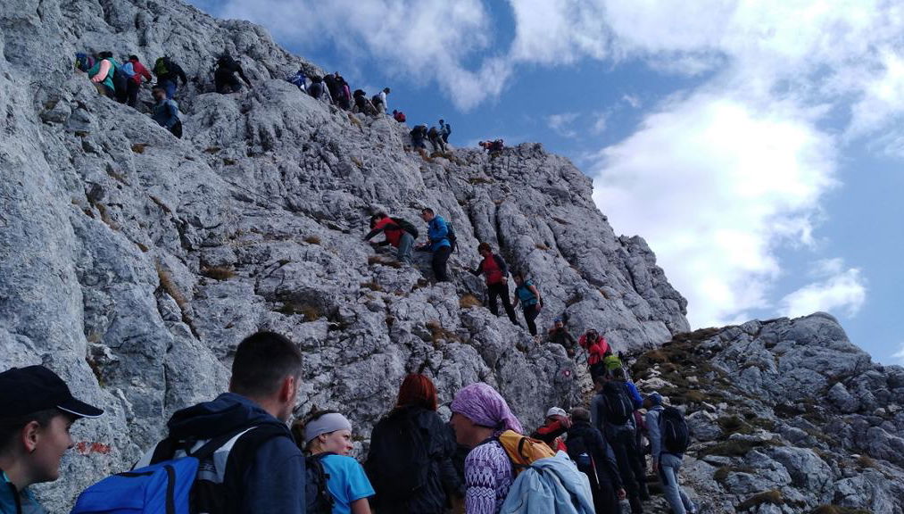
• The tour is conditioned medium to heavy. The altitude difference that passes from Sedlo to the top is 820m. The final climb is technically more demanding (the last 20 minutes of climb to the top), rocky and requires caution, however: the track has enough space to walk in its entire course, it is secured and has space for a safe step so it is not risky and technically demanding.
Trip facts:
• Track length: 12km
• Max. altitude: 2.523m
• Weight: Medium
Language guide
English
Preços
Incluído
- Entrance fee
- Transport
- Travel insurance
- Guide
Não incluído
- Meal
- Drinks
.JPG?aspect_ratio=311:177&width=622)
.JPG?aspect_ratio=311:177&width=622)
.jpg?aspect_ratio=311:177&width=622)
.jpg?aspect_ratio=311:177&width=622)